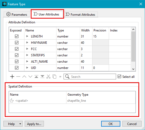
In formats that support reading spatial data, a Spatial Definition table is visible in the User Attributes tab of a Reader Feature Type.
This feature allows you to
- Identify when there is spatial data present on a reader (including the name of the spatial column).
Reader Feature Types
The information contained within the Spatial Definition table includes:
|
Column Name |
Visibility |
Description |
|---|---|---|
|
Name |
Always present |
The values displayed in this column correspond to what is displayed on the expanded workspace canvas object and in the Schema Preview window:
|
|
Geometry Type |
Always present |
Displays the allowed geometry of the feature type. If the format does not support a specific geometry, <all> displays. |
|
Spatial Type |
Optionally shown |
If the format's schema feature has information for spatial type, this column displays. |
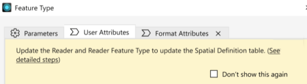
Updating Reader Feature Types
When FME detects an update to feature type, the Feature Type dialog displays an information banner. You can update the dialog to refresh the table content.